top of page
Screenshot 2024-12-30 212137.png
SERVICES
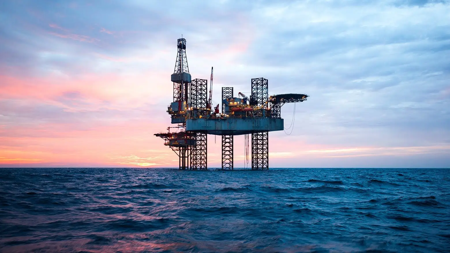
Oil derrick

OUR SERVICES

hydrographic-surveys-service-500x500.webp

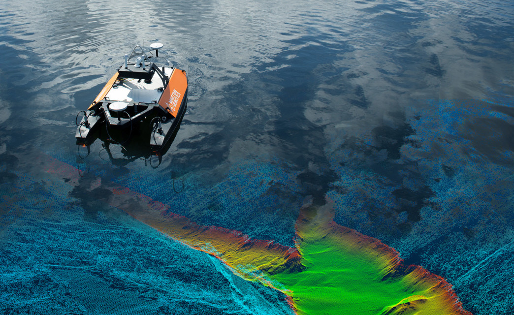
Geophysical Survey

Providing a perfect image of seabed by using and operating the most technologically advanced fleet of equipment. Our fleet include but not limited to the following equipment: Multi beam eco sounder, Sub-bottom profiler, Side scan sonar, magnetometer, etc.

360_F_906123423_N2Mrh1aT4EwlD1xd4JjtdCeYrWO57wLz.jpg

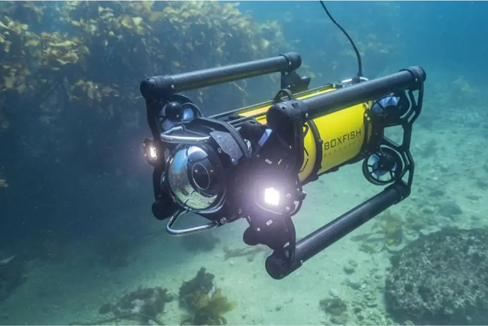
ROV Services

Oceangate provide the ROV to the following services:

Pipeline inspection, SPM inspection, Platform inspection, Underwater video recording, Marine life studies, etc.

projet-management-oil-and-gas.webp

Topography, GIS, and onshore survey

Topographic surveys are a key component of the design process for a site and should be completed prior to detailed design work.

East-Marine-Launches-New-Grab-Dredger-Bestla.jpg

Offshore Positioning Services

We supply all the sensors and software to provide backhoe dredgers, cutter suction dredgers and hopper dredgers with an accuracy.

Screenshot 2024-12-30 224035.png

Data Processing Center

A data center is composed of multiple physical or virtual servers, which are connected through internal and external networks and communication.

Fugro-lands-Angolian-offshore-geotech-surveys.jpg

Offshore Geotechnical Services

Oceangate is a leader worldwide in offshore Geotechnical Site Investigations, with one of the largest fleets of vessels and with decades of experience.

PROJECTS
Marine, Offshore and Subsea-Header.jpg

OUR PROJECTS

rov-doc-ricketts-featured.jpg

ROV Support

7.jpg

haQG Pipeline Inspection Campaign

ignitis-renewables-radinys-baltijos-juroje-656eed4c5f75f.jpg

Geophysical and Seabed Survey - Long Term Project

ROVOP-gets-to-work-with-Mermaid-Subsea.jpg

Air Diving and ROV Survey Campaign

© 2024 by OceanGate FZ. All Rights Reserved.

bottom of page