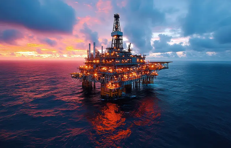
At Oceangate, we deliver fully integrated surveying, inspection, and geospatial solutions tailored to the energy, marine, and infrastructure sectors across the MENA region. Our services are built on a foundation of technical excellence, industry-certified practices, and a commitment to accuracy, safety, and operational efficiency.

We provide high-precision positioning solutions to support complex offshore and onshore oil & gas operations. From rig moves to wellhead positioning and anchor handling, our services ensure seamless navigation and control throughout all phases of marine projects.
Our advanced ROV inspection services are designed to operate in challenging subsea environments, supporting offshore oil and gas operations, and delivering real-time data for the monitoring and maintenance of critical underwater assets. All this ensures maximum efficiency and safety in complex underwater environments.
Utilizing advanced sensors and imaging systems, we conduct high-resolution analogue and digital geophysical surveys for offshore and onshore projects. Our services enable clients to make informed decisions with confidence. Additionally, we support various offshore and onshore operations, ensuring accurate data acquisition for informed decision-making.
We offer comprehensive geotechnical investigation services to support construction planning and asset installation, both on land and offshore. Our team delivers accurate subsurface data through specialized sampling and analysis techniques. Our aim is to ensure stability, safety, and efficiency of infrastructure development in the oil & gas, marine, and construction industries.
Oceangate delivers ROV-based intervention services that go beyond inspection, enabling active support in subsea operations. Using work-class ROVs and specialized tooling, we execute precision tasks in high-risk environments.
We operate one of the region’s most advanced Data Processing Centers, equipped with top-tier software in the UAE. Our expert team processes and interprets vast datasets for efficient, real-time decision-making.
Ocean Gate offers specialized training programs that combine theoretical knowledge with hands-on experience. Our courses empower professionals with the skills needed to excel in marine surveying and subsea operations.
We provide complete GIS and mapping solutions for onshore and nearshore projects. Our services enable clients to visualize spatial data, analyze terrain, and manage assets with confidence.
Using the latest in geospatial technology, Oceangate produces accurate, data-rich maps to support engineering, environmental, and infrastructure projects.
At Oceangate, our GIS Mapping Services empower clients to visualize, analyze, and manage spatial data with accuracy and confidence. Leveraging advanced geospatial technologies and deep industry expertise, we deliver tailored mapping solutions that support complex offshore and onshore projects.


